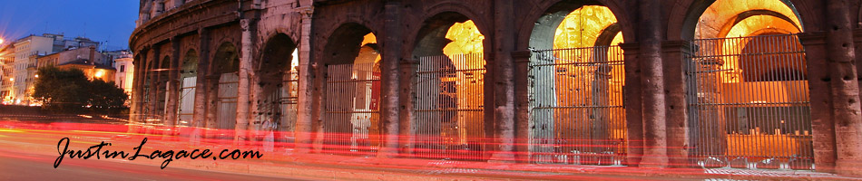
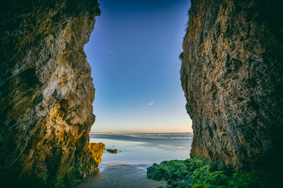
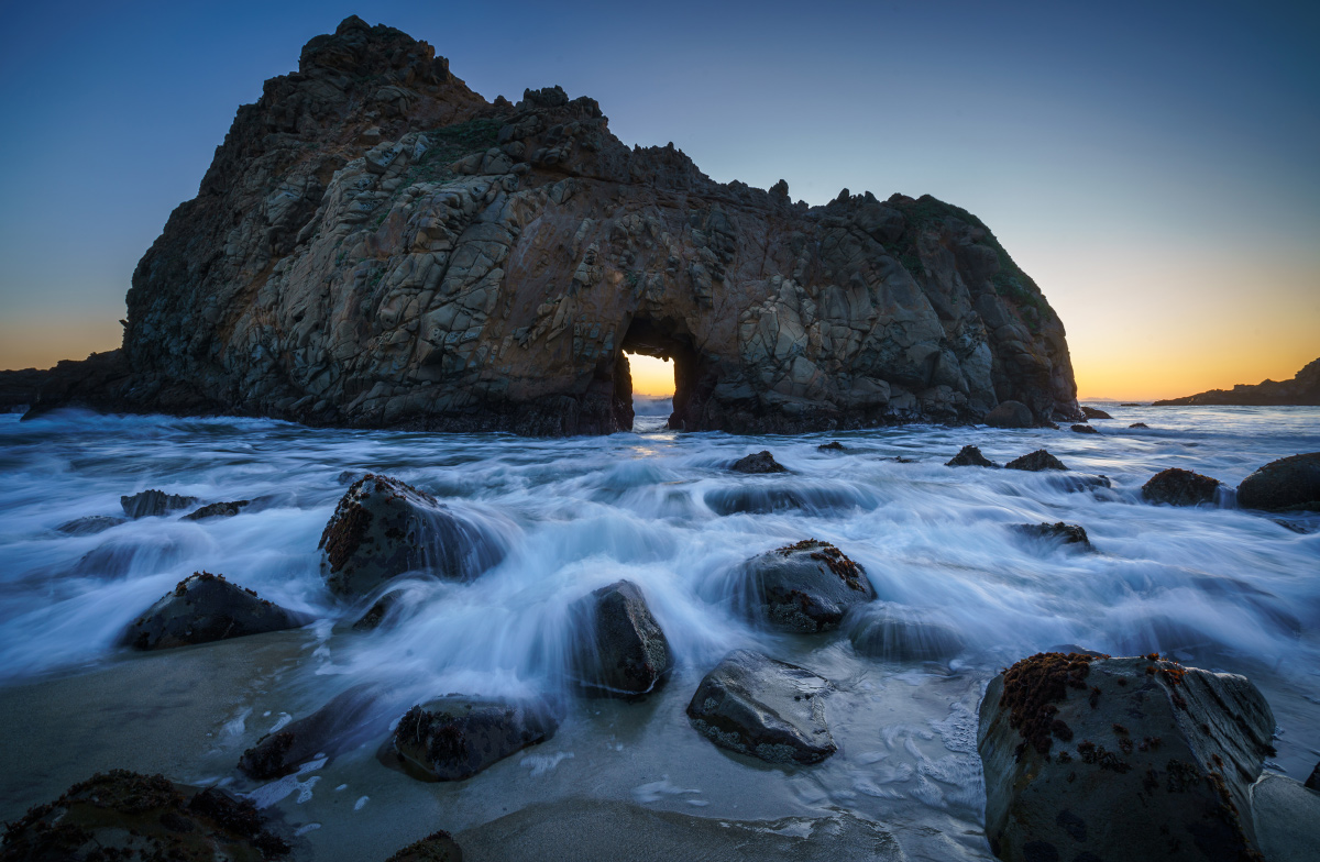
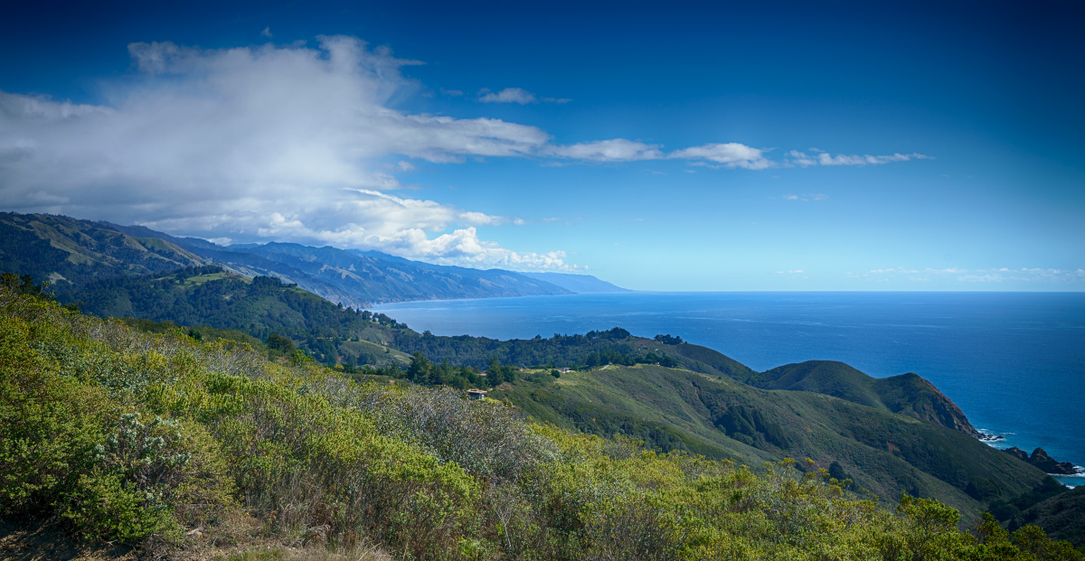
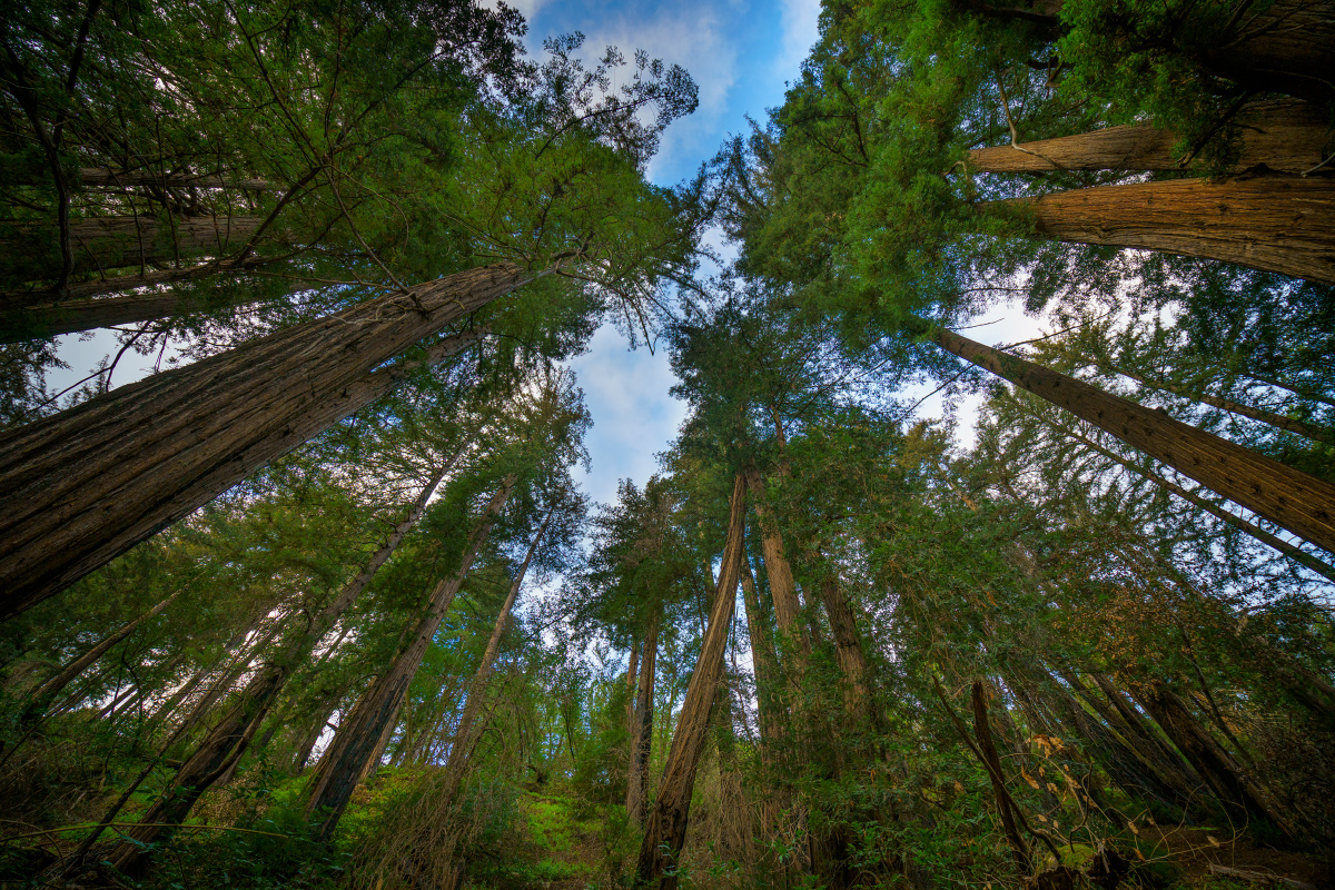
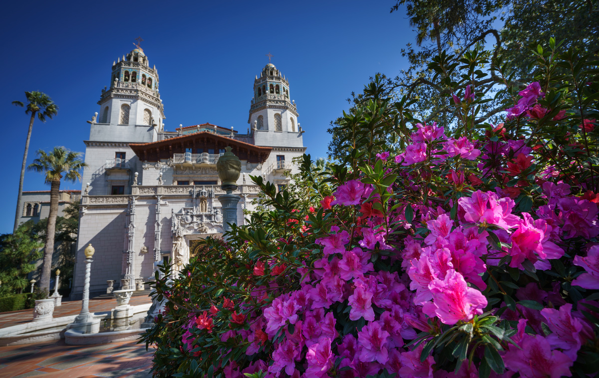
A Rugged Coast: Big Sur and Central California
The Central California coast between Carmel and San Simeon is a rugged and often remote coastline that was until the 1930’s considered one of continental America’s last frontiers. Finally in 1937 its first road was completed, a beautiful 71 mile stretch of highway that runs directly between seaside mountains and the jagged coastline. The “Pais Grand Del Sur” or “The Big Country Down South” from Monterey was finally open for the world to see.
The “Big Sur” name stuck. The highway has been closed 55 times since it has opened (at the time of writing, is still closed in a few spots due to landslides) – indicative of the treacherous terrain the highway crosses. There are waterfalls and redwoods, land bridges and mountain ranges. There’s even a castle. Visit in the off season and you’ll have a chance to have the highway all to yourself. This gallery covers roughly the area of Pismo beach in the south, to Monterey in the north, but you’ll also see a few pictures from other coastal communities in California. Click here for the gallery.
 –
– –
– –
– –
– –
– –
–
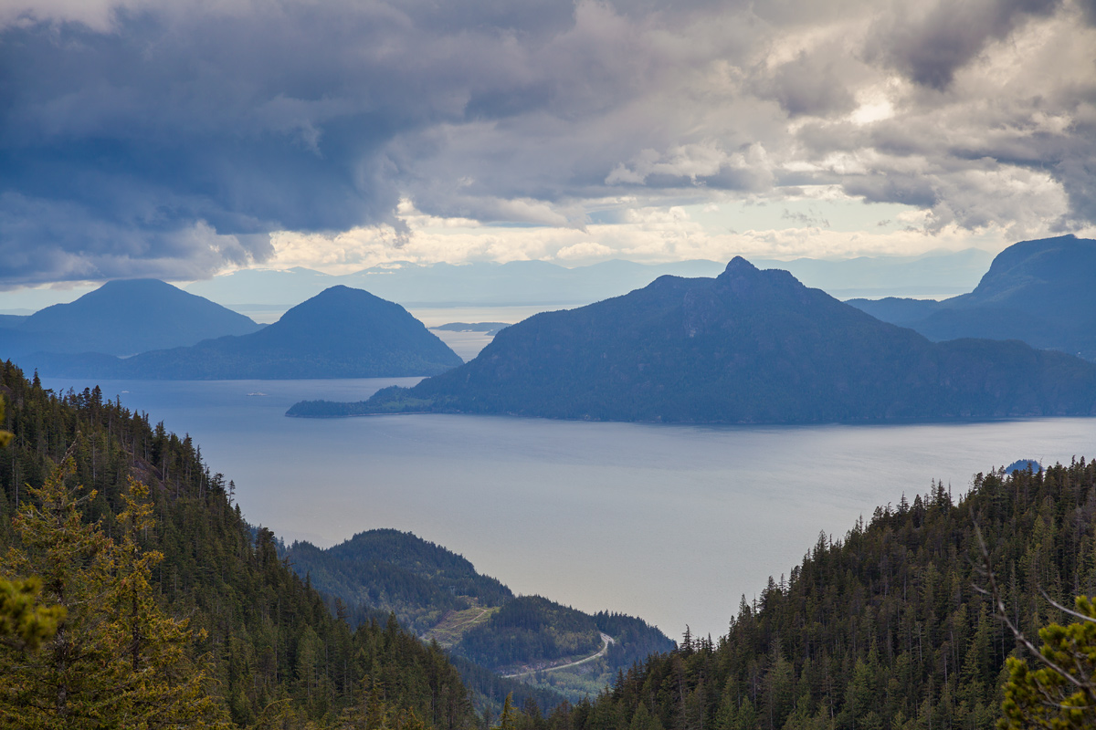
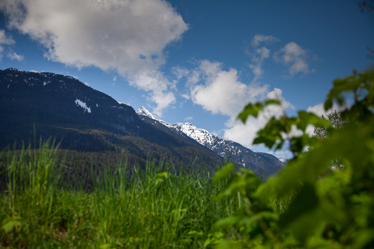
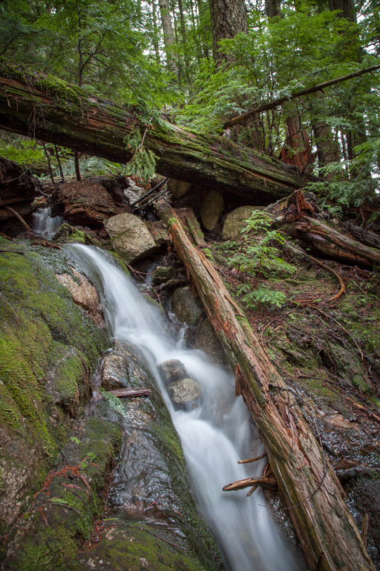
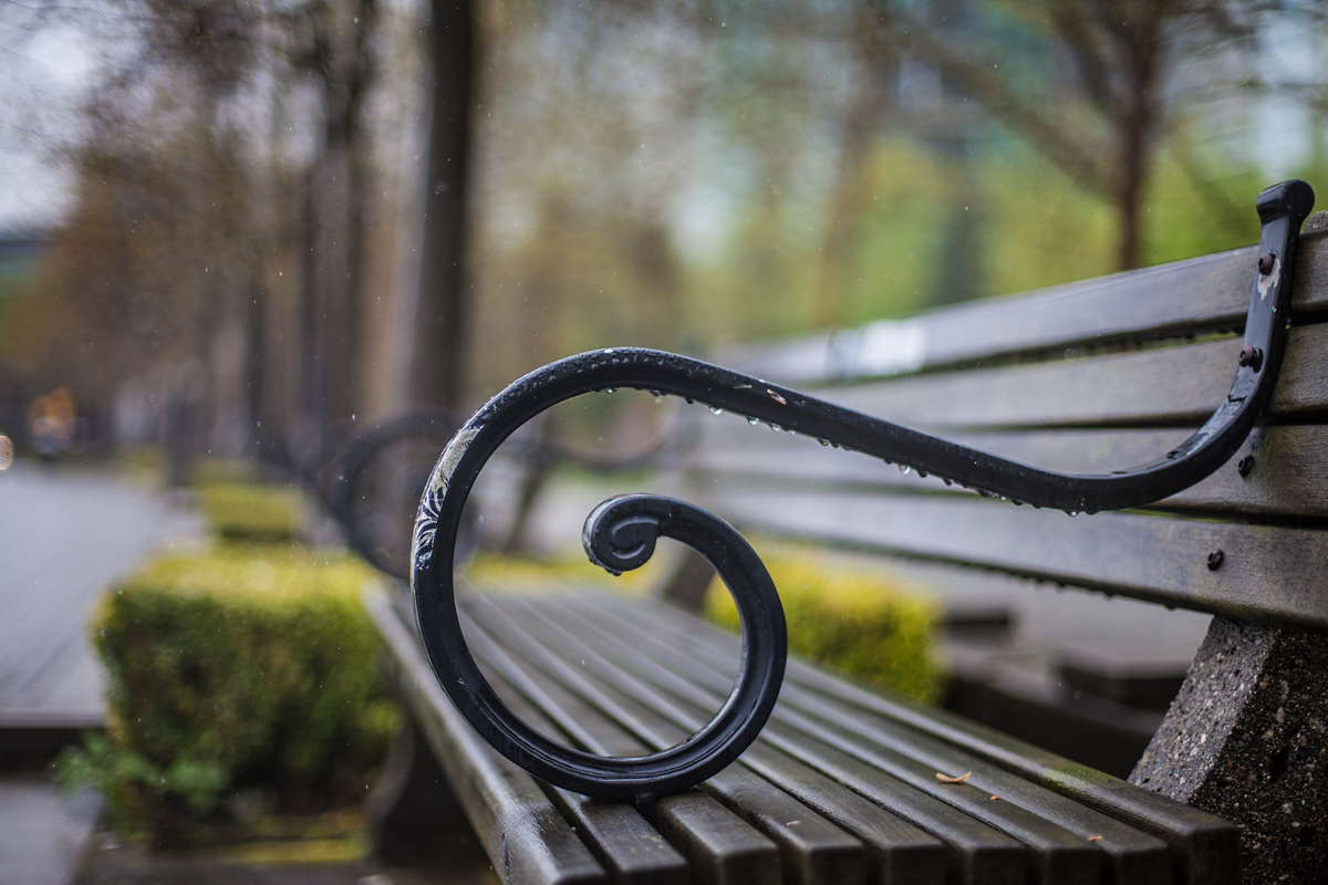
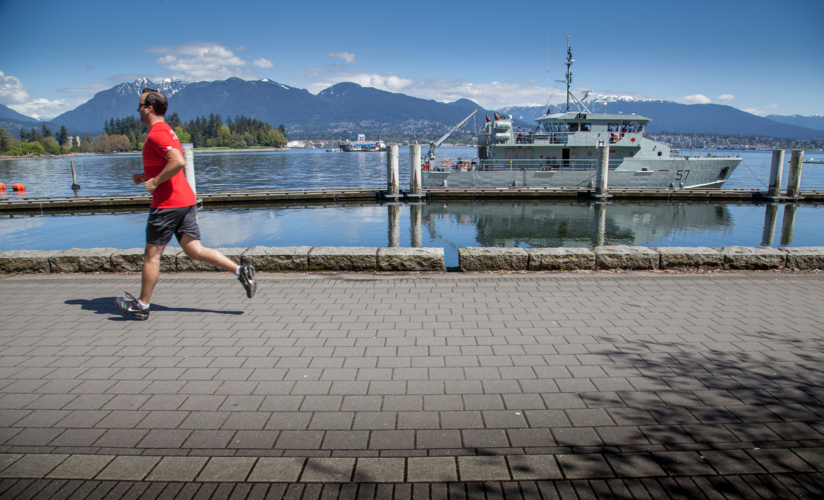
Rain, Sunshine, & Sea to Sky.
Surrounded by mountains and alpine forests, nestled against the Pacific Ocean, Vancouver and the lower British Columbia mainland has the most epic combination of scenic landscapes and a dense, bustling metropolis. There are now at least 2.4 million people living in the area, yet the strategic urban planning, density, and natural geography means the area still manages to invoke a charming sense of wilderness.
The Sea to Sky corridor to the North between Vancouver and Whistler is a quick getaway spoiled with friendly people and lovely scenery. I had a remarkably brief time here in May, enough to capture a few stunning vistas and left wanting more.
To see the gallery for this trip, click here.
To see the Vancouver gallery, with images both new and old, click here. 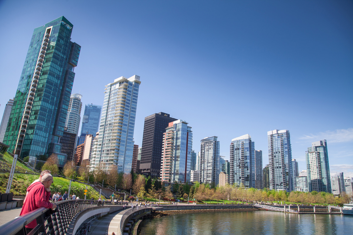
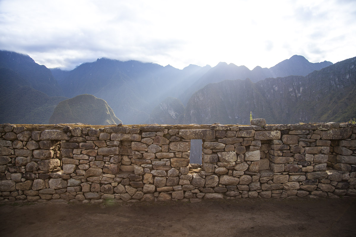
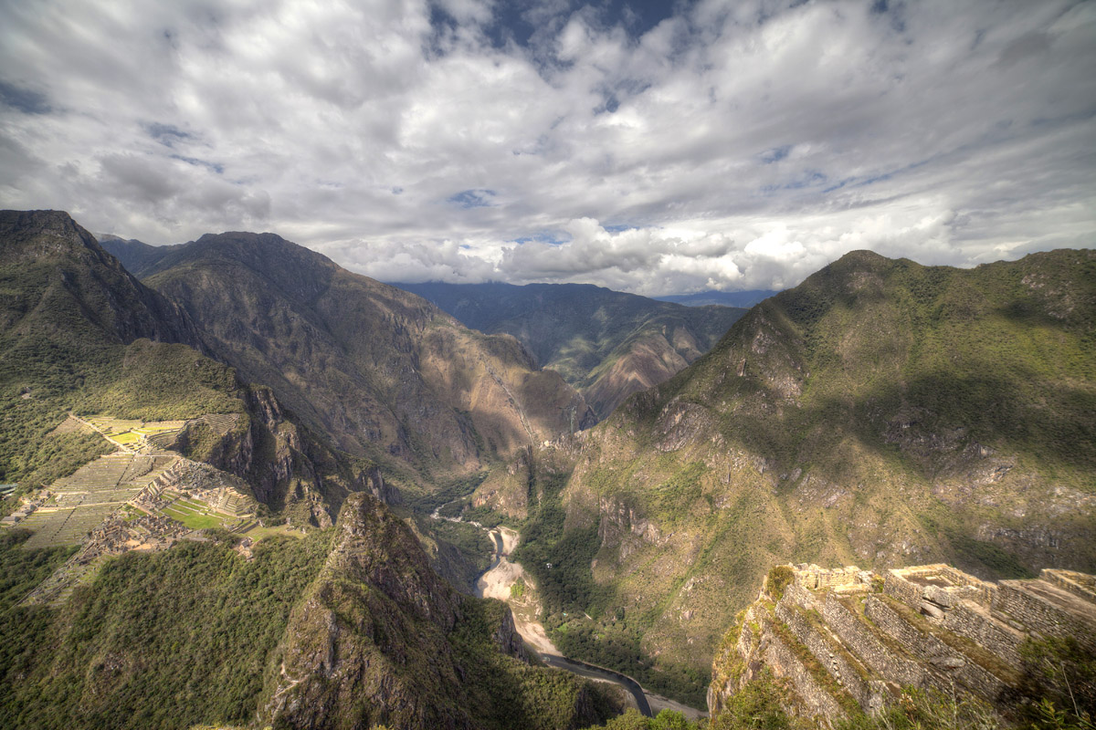
Machu Picchu
In 1450, the Incas built an estate high above the Sacred Valley, some 80km north of Cusco, their capital. It’s name today: Machu Picchu. In 1572, after the fall of their empire, the city was abandoned. The Spanish would never discover it. For 339 years, it lay empty up in the mountains, until an American academic “found” it again in 1911. It is the most recognizable symbol of the Inca Civilization. It is certainly a great testament to their engineering prowess: thousands of feet above a valley, on a steep mountain top, most of the buildings still stand solid despite hundreds of years of neglect, erosion, and even earthquakes.
It’s use: still debated to this day. Most likely it was a retreat for Inca royalty. It almost certainly had been designed a sacred place to honor the natural landscape. The layout of the city seems dedicated to the sun, the mountains and the sacred valley.


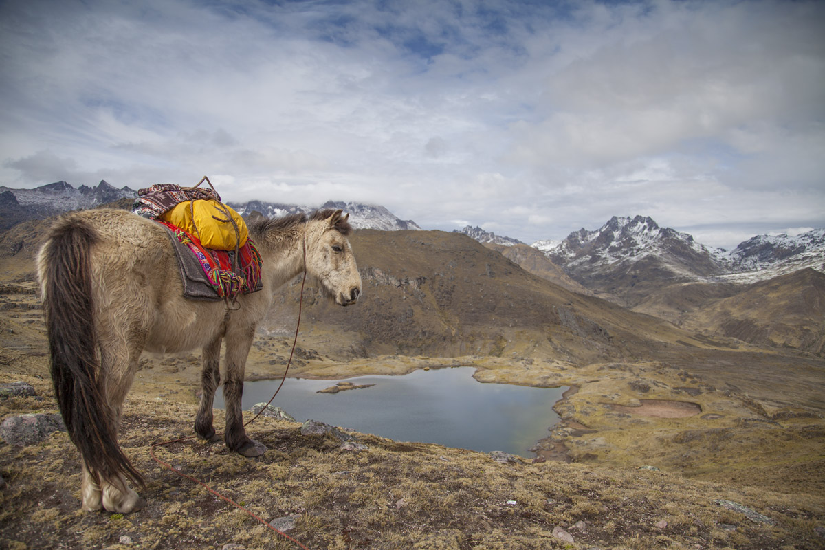
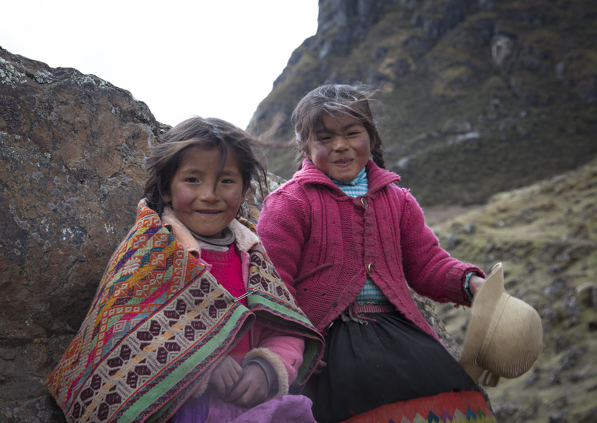
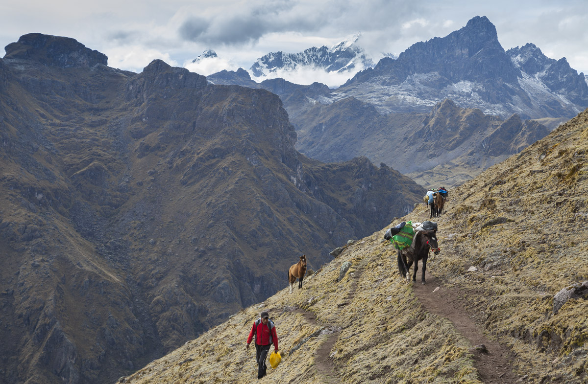
The Lares Trek
For me, the three days spent on the Lares trek best displayed Peru in its purest, most pristine form. Sweeping Andean landscapes with an otherworldly beauty. The Quechua people living the same way they have for hundreds, maybe thousands of years. The influence of Spanish colonization, or any foreign societies for that matter, is extremely minimal. This was my experience with the Andean culture in the raw.
Alia and I hired a local group to help us foreigners on our way to 3 separate 13,000+ ft passes in one of the most scenic parts of the Andes. The photographs will tell the rest of the story. Click the link.


Sa Pa, village at the roof of Indochina.
Sa Pa was once a frontier mountain village in northwestern Vietnam, not on any maps and not seen by any outsiders until 1909 – Surprising, considering the French had already been settling in Vietnam and Indochina for over 200 years by that time! By the 1920s, several wealthy Frenchmen had permanently settled in Sa Pa, driven here by its scenery. Sa Pa is a physical beauty.
Sa Pa, and it’s tallest peak, Mt Fansipan, is said to be “the roof of Indochina” today. It is accessible from Hanoi by overnight train and a winding bus ride up to its tremendous elevation. Sa Pa has become a market village for surrounding small villages, groups of ethnic minorities, and an access point for outsiders to the cultural and scenery of northern Vietnam.
I’ve added a few pictures and some reflection on my feelings of powerlessness with the child poverty I encountered in Vietnam. Head here to learn more and here to donate to UNICEF, because I didn’t know what else to do.
Click here for the Sa Pa Gallery. An amazing place.


A city of islands
Approximately two thousand islands packed together, like buildings in a city, bring travelers to see Ha Long Bay. What’s more impressive than the sheer number of islands, is the geology of them: hundred foot rock faced cliffs staring down at the water in all directions. Seawater (and ice) carved stone walls, like art pieces, from millions of years of erosion. This is the UNESCO World Heritage Site, the decsending dragon of northern Vietnam. Ha Long. Click here.


Gwangju: A gallery from a thriving South Korean city that isn’t Seoul.
I’m not sure how to introduce Gwangju, so I’ll say this: Gwangju isn’t a world renowned city, nor is it a usual destination for travelers. If you’re not a foreigner teaching English, or visiting one, you’ll likely never end up in here. I couldn’t find any demographic statistics on Gwangju, but like the rest of Korea, it’s very ethnically homogenous (well over 99% of the population is ethnically Korean). Talk about visible minorities – us foreigners stand out like a sore thumb.
Gwangju is South Korea’s 6th largest city near the southwest edge of the Korean peninsula. It’s surprisingly vibrant thanks to a high population density and intelligent urban planning. It’s situated among gorgeous forested mountains; Korea is a country of mountains after all. Compared with Seoul, it’s a fair bit less crowded, the air is cleaner, and the cuisine is reportedly better (and it was, in my experience).
I spent a few days taking in the great food and variably good soju. Coming from China a day before, Gwangju felt quaint and welcoming. With that said, the pedestrian streets of downtown Gwangju can be just as active as any Asian metropolis. So here is a gallery, off the beaten path in South Korea. Peace!


The Great Wall
I’m continuing my feat of sorting through my photos from the past month. This is going to take a while! Here’s a quick set from the Great Wall of China, and some surrounding scenery. Link.


Banff, Dolomite Pass, and an attempt at Cirque Peak.
Winter was still around in late June in Banff this year, hard to beleive. It was litterally freezing over night, and not much better during the day. Regardless, we managed to get a backcountry scramble in, and we set forth up Dolomite Pass (about 100km north of the town of banff) to Cirque Peak. While we didn’t reach the summet (probably unobtainable without a ice axe), we still got some great views of the remote wilderness. Here is my gallery of the scramble, and some other wildlife and wilderness from the area. Click it! (The gallary also contains some shots from a previous trip to Banff)


Peaks and Valleys
Solitude and serenity in the Canadian Rockies. Especially if you’re willing to get out onto a back-country trail, there is a sense of spirituality in this natural wonder. There’s a specific moment you realize: You can hear no traffic. There is no cell phone signal. The conveniences and inconveniences of human society have no reach here. It’s humbling, especially when combined with the scale of the mountains and the scope of the evergreen forrests.


I’ll have a full gallery from the Rockies up over the next few days. I also had a bit of time in Calgary, so expect that too!